Our Laboratory employs a range of advanced equipment, tools, and technologies to support applied research, education, and state-of-the-art applications in the fields of Labour and Economic Geography. Specifically, these resources enable the collection, analysis, and visualization of socio-spatial data. By doing so, our Laboratory aims at effecting true change in the way society perceives urban and regional scales.
Explore the sections below to discover detailed information about the Lab’s resources.
NavVis VLX3
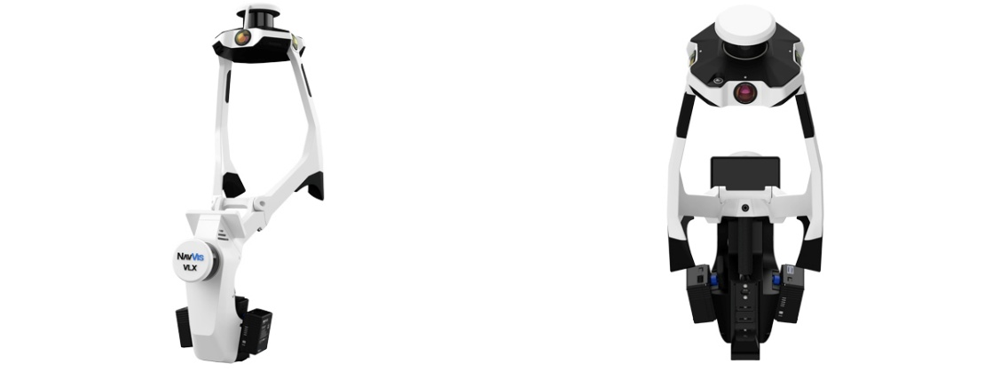
Click here to read the camera’s detailed specifications from the manufacturer, and click here to view and download a detailed and interactive brochure of the scanner below.

The NavVis VLX-3 can be utilized across a broad range of innovative applications, especially in urban and peri-urban contexts. Some of these applications include:
High-Resolution 3D Mapping of Urban Environments and Change Monitoring
Detailed 3D models of streets, neighbourhoods, landmarks, and infrastructure can support spatial analysis, planning, and architectural design. When compared with past images or datasets from other sources, current 3D scans can also make it possible to detect and visualize changes – ranging from new construction activity to broader urban transformations such as gentrification and touristification.
Infrastructure & Environment
Clouds of photos can help assess the condition of public spaces, measure the extent of urban green, identify high-pollution zones, and support informed maintenance and urban management strategies.
Cultural Heritage
Precise 3D scans of cultural heritage sites can offer valuable data to experts and cultural institutions, supporting documentation, analysis, and restoration efforts during monument restoration and conservation projects
Labour Sites Documentation
3D scans and other produced data can digitally preserve labour-related sites such as industrial zones, contributing to heritage research, public history initiatives, and labour studies.
Policy & Research
Detailed visualizations and spatial insight into the current conditions of the urban and peri-urban built environment can aid urban planners and policymakers in developing evidence-based strategies.
Community Engagement
Immersive 3D visualizations and/or virtual tours can transform complex urban data into accessible and engaging formats that help involve citizens and stakeholders in planning processes.
Through the camera’s applications, our team turns spatial data into meaningful insight. Specifically, we provide:
We carry out flexible 3D scanning projects tailored to a wide range of objectives, whether capturing a single building, a street, or an entire neighbourhood. Each scan is carefully planned to align with the specific scale and focus of each project.
Using repeat scans, we highlight how places evolve, providing a valuable perspective for understanding urban transformation.
We integrate 3D scans with GIS files, older datasets, and platforms like Google Street View. This allows for deeper spatial analysis and richer storytelling around places.
Our exploitation is adaptable to the unique character of each project. From data acquisition to visual outputs, we work closely with partners to deliver meaningful and context-sensitive results.
The NavVis VLX-3 3D Camera has been used as a crucial tool in various projects (examples highlighted by the manufacturer can be found here). Our team has conducted a pilot demonstration scanning sections of pedestrian zones and indoor areas in Mytilene and elsewhere in Greece. The images and demo video shown below showcase the camera’s capability to capture high-resolution imagery, generate detailed point clouds, and create accurate 3D models of both outdoor and indoor areas.
Data visualization of Ermou street in Mytilene, Greece, using IVION Core, a cloud-based SaaS platform designed for processing, managing, and exploring the camera’s captured data.

For more information, as well as to schedule a demonstration, you can contact us via our website (lgrl.aegean.gr), via email (labourgeolab@gmail.com / stgialis@aegean.gr) or by phone at +30 2210 36642
